New NASA satellite to make the world’s first global freshwater survey
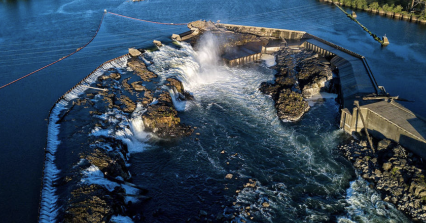
The Surface Water and Ocean Topography (SWOT) mission will conduct research on nearly 95% of lakes, rivers, and reservoirs on Earth.
Scientists can measure the water level in only a few thousand lakes on the planet. They have almost no data on the important river systems of the planet, "Rubryka" reports.
However, this issue has been solved thanks to the collaboration with the French space agency Centre National d'Études Spatial (CNES) with the participation of the Canadian Space Agency and the UK Space Agency. It is reported in NASA, which takes part as well.
When? The SWOT satellite is planned to be launched this November from Vandenberg Space Force base in California. Now engineers and technicians have the last touches on the SWOT of the Thales Alenia Space object in Cannes, France.
Why? This will help us understand the water cycle on Earth better. It will contribute to better handling of water resources and also will expand the knowledge on how climate change affects lakes, rivers, and reservoirs.
- SWOT can measure water levels of more than 95% of lakes on Earth with an area of more than 6 hectares, and rivers with a width of more than 100 meters;
- The satellite is able to "see" such elements as eddies smaller than 100 kilometers in size over the ocean.


